Map the War
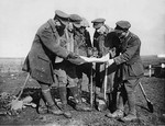
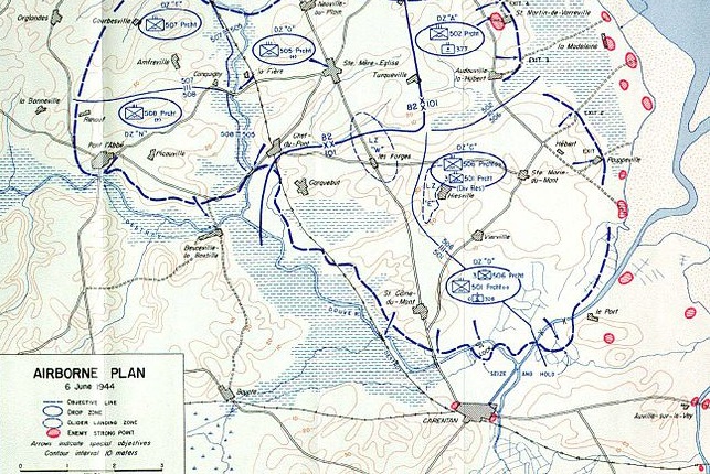 Photo Credit- Wikimedia Commons
My mother used to work in an antique shop, which I would pass on my way home from school. A lot of the items in the shop came from house clearances and among the old, dusty furniture was a big bookcase of second-hand books, invariably adult and non-fiction paperbacks. I remember being fascinated by the book covers, which showed a darker, more interesting world beyond the one I knew. I was able to borrow a few books at a time and at age eleven I read my first military biography, a book which has arguably become one of the most popular but controversial accounts of the Eastern front in World War 2.
The Forgotton Soldier by Guy Sajer was originally published in 1965 and tells the incredible story of a young German soldier’s experiences on the Eastern front. The book strongly affected me - I still own the book, almost forty years later - and in those pre-Internet times, I scoured our local library to find maps of Russia to help me find the towns and cities mentioned in the narrative. Ever since then, one of my favourite parts of reading any military account is using the accompanying maps to help me put the story in context and to understand the flow of the action.
For the most part, the maps provided in military biographies are perfunctory and not very detailed. This can simply be a publishing choice but in many cases the details of the locations are lost to time, particularly when the personal account is written many years after the event. One of the first non-fiction books I bought was an atlas of World War 2, which gave a strategic level view of the war but unfortunately wasn’t much help finding small towns and cities. Over the years I have read many biographies from WWI, WW2 and the Vietnam War and I always wondered how the lives and paths of the protagonists in each war might have crossed.
Last year I read two superb books: The Devil’s Own Luck and Panzer Ace. The first is the account of a young British glider-borne infantryman, who saw action in Normandy, Belgium and Germany and the second details the experiences of a German panzer commander who fought on both the Eastern and Western fronts. I read the books one after the other, and what piqued my curiosity was the realisation that both men were in action around the same time and in the same area near Caen in August 1944. Was it possible that these men had fought against each other? A quick bit of research showed that this was not the case, but it gave me the germ of an idea: wouldn’t it be interesting if I could map the locations of these men during the war?
Whilst I generally enjoy the books I read, I am aware that much of the story is forgotten once the book is finished. If the author has done a good job, the story may leave the reader with a positive emotional impression, but the sad truth is that we are only left with a broad recall of the story, where finer factual details like place names and dates are gone. This more or less immediate memory loss bothered me - I felt that these stories were important and that I owed the authors more. If I could map the places where these men had fought, maybe it would help me better understand the narrative and provide me with some useful notes for later reference. Most of all, I could potentially connect the dots between the men who fought in these huge conflicts.
I played around with this idea for a little using Google Earth but I found it too restrictive and frankly it didn’t have the functionality I needed. Coincidentally, I had been working on some interactive maps for analysing 4G customer data, so it was easy to decide to develop my own web application for recording and viewing military biography location data. The practicalities would be a little harder.
Posts
Mapping Military Biographies - Part 1